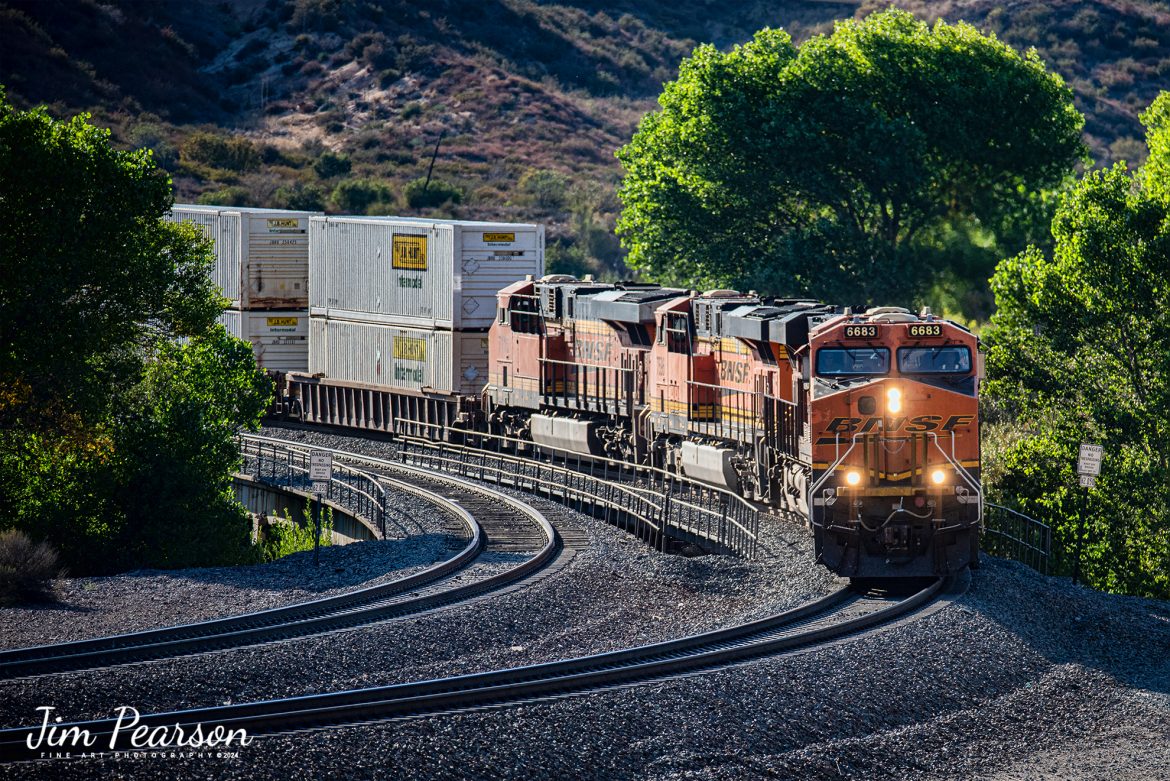
A Union Pacific freight makes its way west down the Cajon Pass as it approaches the Mormon Rocks area in Cajon Pass, California on September 20th, 2024.

According to Wikipedia: Cajon Pass is a mountain pass between the San Bernardino Mountains to the east and the San Gabriel Mountains to the west in Southern California. Created by the movements of the San Andreas Fault, it has an elevation of 3,777 ft (1,151 m). Located in the Mojave Desert, the pass is an important link from the Greater San Bernardino Area to the Victor Valley, and northeast to Las Vegas. The Cajon Pass area is on the Pacific Crest Trail.

Cajon Pass is at the head of Horsethief Canyon, traversed by California State Route 138 (SR 138) and railroad tracks owned by BNSF Railway and Union Pacific Railroad. Improvements in 1972 reduced the railroad's maximum elevation from about 3,829 to 3,777 feet while reducing curvature. Interstate 15 does not traverse Cajon Pass, but rather the nearby Cajon Summit. The entire area, Cajon Pass and Cajon Summit, is often referred to as Cajon Pass, but a distinction is made between Cajon Pass and Cajon Summit.

The California Southern Railroad, a subsidiary of the Atchison, Topeka and Santa Fe Railway, was the first railroad through Cajon Pass. The line through the pass was built in the early 1880s to connect the present-day cities of Barstow and San Diego. Today the Union Pacific Railroad and BNSF Railway (the successor to the Santa Fe) use the pass to reach Los Angeles and San Bernardino as part of the Southern Transcon. Due to the many trains, scenery and easy access, it is a popular location for railfans, and many photographs of trains on Cajon Pass appear in books and magazines.

The Union Pacific Railroad owns one track through the pass, on the previous Southern Pacific Railroad Palmdale cutoff, opened in 1967. The BNSF Railway owns two tracks and began to operate a third main track in the summer of 2008. The railroads share track rights through the pass ever since the Union Pacific gained track rights on the Santa Fe portion negotiated under the original Los Angeles and Salt Lake Railroad. 

Tech Info: DJI Mavic 3 Classic Drone, RAW, 24mm, f/2.8, 1/2000, ISO 100.

#railroad #railroads #train, #trains #railway #railway #steamtrains #railtransport #railroadengines #picturesoftrains #picturesofrailways #besttrainphotograph #bestphoto #photographyoftrains #bestsoldpicture #JimPearsonPhotography #trainsfromtheair #trainsfromadrone #CajonPass

A Union Pacific freight heads west down the Cajon Pass as it approaches the Mormon Rocks area in Cajon Pass, CA

A Union Pacific freight makes its way west down the Cajon Pass as it approaches the Mormon Rocks area in Cajon Pass, California on September 20th, 2024.

According to Wikipedia: Cajon Pass is a mountain pass between the San Bernardino Mountains to the east and the San Gabriel Mountains to the west in Southern California. Created by the movements of the San Andreas Fault, it has an elevation of 3,777 ft (1,151 m). Located in the Mojave Desert, the pass is an important link from the Greater San Bernardino Area to the Victor Valley, and northeast to Las Vegas. The Cajon Pass area is on the Pacific Crest Trail.

Cajon Pass is at the head of Horsethief Canyon, traversed by California State Route 138 (SR 138) and railroad tracks owned by BNSF Railway and Union Pacific Railroad. Improvements in 1972 reduced the railroad’s maximum elevation from about 3,829 to 3,777 feet while reducing curvature. Interstate 15 does not traverse Cajon Pass, but rather the nearby Cajon Summit. The entire area, Cajon Pass and Cajon Summit, is often referred to as Cajon Pass, but a distinction is made between Cajon Pass and Cajon Summit.

The California Southern Railroad, a subsidiary of the Atchison, Topeka and Santa Fe Railway, was the first railroad through Cajon Pass. The line through the pass was built in the early 1880s to connect the present-day cities of Barstow and San Diego. Today the Union Pacific Railroad and BNSF Railway (the successor to the Santa Fe) use the pass to reach Los Angeles and San Bernardino as part of the Southern Transcon. Due to the many trains, scenery and easy access, it is a popular location for railfans, and many photographs of trains on Cajon Pass appear in books and magazines.

The Union Pacific Railroad owns one track through the pass, on the previous Southern Pacific Railroad Palmdale cutoff, opened in 1967. The BNSF Railway owns two tracks and began to operate a third main track in the summer of 2008. The railroads share track rights through the pass ever since the Union Pacific gained track rights on the Santa Fe portion negotiated under the original Los Angeles and Salt Lake Railroad.

Tech Info: DJI Mavic 3 Classic Drone, RAW, 24mm, f/2.8, 1/2000, ISO 100.

A Southern Pacific tank train makes it's way through the Cajon Pass in Sothern California in March of 1995 with 5 units pulling hard.

I spent a lot of years railfanning the pass between 1981 and 1995! It's a great place to catch trains and I've been back several times over the years since then.

In fact I'm headed back again this coming September for a week or so to see how much it has changed since I was last there several years ago. In fact, it was before I had a drone, so I'm really looking forward to railfanning from the air this next trip!

According to Wikipedia: Cajon Pass is a mountain pass between the San Bernardino Mountains to the east and the San Gabriel Mountains to the west in Southern California. Created by the movements of the San Andreas Fault, it has an elevation of 3,777 ft (1,151 m).[1] Located in the Mojave Desert, the pass is an important link from the Greater San Bernardino Area to the Victor Valley, and northeast to Las Vegas. The Cajon Pass area is on the Pacific Crest Trail.

Cajon Pass is at the head of Horsethief Canyon, traversed by California State Route 138 and railroad tracks owned by BNSF Railway and Union Pacific Railroad. Improvements in 1972 reduced the railroad's maximum elevation from about 3,829 to 3,777 feet (1,167 to 1,151 m) while reducing curvature. Interstate 15 does not traverse Cajon Pass, but rather the nearby Cajon Summit. The entire area, Cajon Pass and Cajon Summit, is often referred to as Cajon Pass, but a distinction is made between Cajon Pass and Cajon Summit.

Nikon F3 Camera, Nikon 70-300mm lens, f/stop and shutter speed not recorded

Southern Pacific tank train makes it’s way through the Cajon Pass in Sothern California in March of 1995

A Southern Pacific tank train makes it’s way through the Cajon Pass in Sothern California in March of 1995 with 5 units pulling hard.

I spent a lot of years railfanning the pass between 1981 and 1995! It’s a great place to catch trains and I’ve been back several times over the years since then.

In fact I’m headed back again this coming September for a week or so to see how much it has changed since I was last there several years ago. In fact, it was before I had a drone, so I’m really looking forward to railfanning from the air this next trip!

According to Wikipedia: Cajon Pass is a mountain pass between the San Bernardino Mountains to the east and the San Gabriel Mountains to the west in Southern California. Created by the movements of the San Andreas Fault, it has an elevation of 3,777 ft (1,151 m).[1] Located in the Mojave Desert, the pass is an important link from the Greater San Bernardino Area to the Victor Valley, and northeast to Las Vegas. The Cajon Pass area is on the Pacific Crest Trail.

Cajon Pass is at the head of Horsethief Canyon, traversed by California State Route 138 and railroad tracks owned by BNSF Railway and Union Pacific Railroad. Improvements in 1972 reduced the railroad’s maximum elevation from about 3,829 to 3,777 feet (1,167 to 1,151 m) while reducing curvature. Interstate 15 does not traverse Cajon Pass, but rather the nearby Cajon Summit. The entire area, Cajon Pass and Cajon Summit, is often referred to as Cajon Pass, but a distinction is made between Cajon Pass and Cajon Summit.

Nikon F3 Camera, Nikon 70-300mm lens, f/stop and shutter speed not recorded

A Loram Rail grinder makes its way through the Cajon Pass in Southern California in April of 1995.

I spent a lot of years railfanning the pass between 1981 and 1995! It's a great place to catch trains and I've been back several times over the years since then.

In fact I'm headed back again this coming September for a week or so to see how much it has changed since I was last there several years ago. In fact, it was before I had a drone, so I'm really looking forward to railfanning from the air this next trip!

According to Wikipedia: Cajon Pass is a mountain pass between the San Bernardino Mountains to the east and the San Gabriel Mountains to the west in Southern California. Created by the movements of the San Andreas Fault, it has an elevation of 3,777 ft (1,151 m).[1] Located in the Mojave Desert, the pass is an important link from the Greater San Bernardino Area to the Victor Valley, and northeast to Las Vegas. The Cajon Pass area is on the Pacific Crest Trail.

Cajon Pass is at the head of Horsethief Canyon, traversed by California State Route 138 and railroad tracks owned by BNSF Railway and Union Pacific Railroad. Improvements in 1972 reduced the railroad's maximum elevation from about 3,829 to 3,777 feet (1,167 to 1,151 m) while reducing curvature. Interstate 15 does not traverse Cajon Pass, but rather the nearby Cajon Summit. The entire area, Cajon Pass and Cajon Summit, is often referred to as Cajon Pass, but a distinction is made between Cajon Pass and Cajon Summit.

Nikon F3 Camera, Nikon 300mm lens, f/stop and shutter speed not recorded

A Loram Rail grinder makes its way through the Cajon Pass in April of 1995

A Loram Rail grinder makes its way through the Cajon Pass in Southern California in April of 1995.

I spent a lot of years railfanning the pass between 1981 and 1995! It’s a great place to catch trains and I’ve been back several times over the years since then.

In fact I’m headed back again this coming September for a week or so to see how much it has changed since I was last there several years ago. In fact, it was before I had a drone, so I’m really looking forward to railfanning from the air this next trip!

According to Wikipedia: Cajon Pass is a mountain pass between the San Bernardino Mountains to the east and the San Gabriel Mountains to the west in Southern California. Created by the movements of the San Andreas Fault, it has an elevation of 3,777 ft (1,151 m).[1] Located in the Mojave Desert, the pass is an important link from the Greater San Bernardino Area to the Victor Valley, and northeast to Las Vegas. The Cajon Pass area is on the Pacific Crest Trail.

Cajon Pass is at the head of Horsethief Canyon, traversed by California State Route 138 and railroad tracks owned by BNSF Railway and Union Pacific Railroad. Improvements in 1972 reduced the railroad’s maximum elevation from about 3,829 to 3,777 feet (1,167 to 1,151 m) while reducing curvature. Interstate 15 does not traverse Cajon Pass, but rather the nearby Cajon Summit. The entire area, Cajon Pass and Cajon Summit, is often referred to as Cajon Pass, but a distinction is made between Cajon Pass and Cajon Summit.

Nikon F3 Camera, Nikon 300mm lens, f/stop and shutter speed not recorded

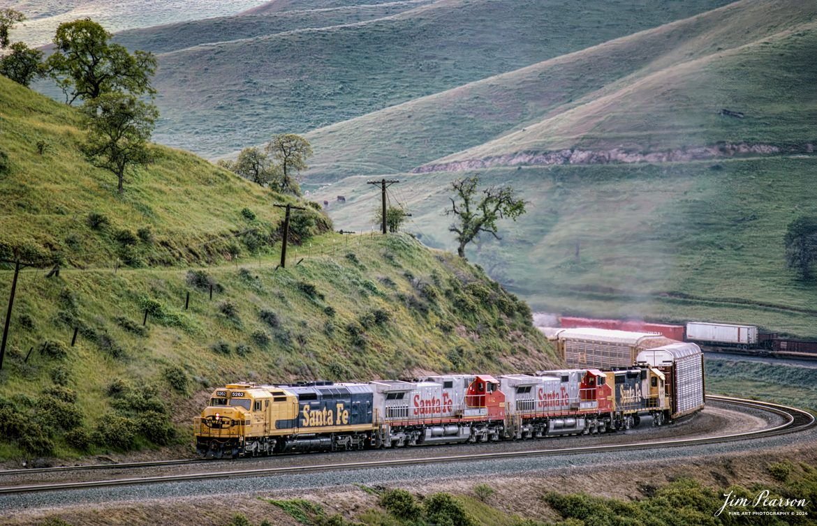
Santa Fe 5262 heads through the Tehachapi Mountains with a mixed freight on their way west along the UP Mojave Subdivision, California, in April of 1995.

According to Wikipedia: The Tehachapi Mountains are a mountain range in the Transverse Ranges system of California in the Western United States. The range extends for approximately 40 miles in southern Kern County and northwestern Los Angeles County and form part of the boundary between the San Joaquin Valley and the Mojave Desert.

The Mojave Subdivision refers to a series of railway lines in California. The primary route crosses the Tehachapi Pass and features the Tehachapi Loop, connecting Bakersfield to the Mojave Desert. East of Mojave, the line splits with the Union Pacific Railroad portion continuing south to Palmdale and Colton over the Cajon Pass and the BNSF Railway owned segment running east to Barstow. Both companies generally share trackage rights across the lines.

Tech Notes: Nikon F3 Film Camera, Nikon 300mm lens, f/stop and shutter speed not recorded

Santa Fe 5262 heads through the Tehachapi Mountains in northern California

Santa Fe 5262 heads through the Tehachapi Mountains with a mixed freight on their way west along the UP Mojave Subdivision, California, in April of 1995.

According to Wikipedia: The Tehachapi Mountains are a mountain range in the Transverse Ranges system of California in the Western United States. The range extends for approximately 40 miles in southern Kern County and northwestern Los Angeles County and form part of the boundary between the San Joaquin Valley and the Mojave Desert.

The Mojave Subdivision refers to a series of railway lines in California. The primary route crosses the Tehachapi Pass and features the Tehachapi Loop, connecting Bakersfield to the Mojave Desert. East of Mojave, the line splits with the Union Pacific Railroad portion continuing south to Palmdale and Colton over the Cajon Pass and the BNSF Railway owned segment running east to Barstow. Both companies generally share trackage rights across the lines.

Tech Notes: Nikon F3 Film Camera, Nikon 300mm lens, f/stop and shutter speed not recorded

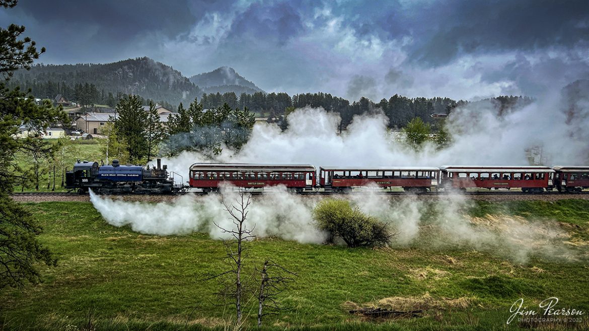
The 1880 Train, Black Hills Central Railroad locomotive crew on 108 performs a blow down on the engine as they arrive back at Hill City, SD on May 30th, 2022, under stormy skies. 

A Blowdown, where the left and right blow down cocks, located at the lowest portion of the firebox sides (mud ring), are opened to blow out mineral sediments in the boiler water. Addition of various chemicals in the tender water is designed to keep the sediments (mud, etc.) from sticking to the internal steel components of the firebox/boiler. On a regular basis, those "settled" sediments need to blown out at safe locations on the railroad. Thus, the locomotives are being "blown down".

According to their website: Locomotive #108 joined its nearly identical twin, #110, at the beginning of the 2020 season following a four-year restoration. It is a 2-6-6-2T articulated tank engine that was built by the Baldwin Locomotives Works in 1926 for the Potlatch Lumber Company. It later made its way to Weyerhaeuser Timber Company and eventually to the Northwest Railway Museum in Snoqualmie, Washington.

The acquisition and subsequent restoration of locomotive #108 completed a more than 20-year goal of increasing passenger capacity which began with the restoration of #110 and the restoration of multiple passenger cars. Both large Mallet locomotives (pronounced “Malley”) can pull a full train of seven authentically restored passenger cars, up from the four cars utilized prior to their addition to the roster.

Tech Info: iPhone 13 Pro Max, 5.7mm, f/1.5, 1/1147, ISO 50.

#trainphotography #railroadphotography #trains #railways #jimpearsonphotography #trainphotographer #railroadphotographer #blackhillscentralrailroad #STEAM #steamtrains

Black Hills Central Railroad locomotive crew on 108 performs a blow down at Hill City, SD

The 1880 Train, Black Hills Central Railroad locomotive crew on 108 performs a blow down on the engine as they arrive back at Hill City, SD on May 30th, 2022, under stormy skies.

A Blowdown, where the left and right blow down cocks, located at the lowest portion of the firebox sides (mud ring), are opened to blow out mineral sediments in the boiler water. Addition of various chemicals in the tender water is designed to keep the sediments (mud, etc.) from sticking to the internal steel components of the firebox/boiler. On a regular basis, those “settled” sediments need to blown out at safe locations on the railroad. Thus, the locomotives are being “blown down”.

According to their website: Locomotive #108 joined its nearly identical twin, #110, at the beginning of the 2020 season following a four-year restoration. It is a 2-6-6-2T articulated tank engine that was built by the Baldwin Locomotives Works in 1926 for the Potlatch Lumber Company. It later made its way to Weyerhaeuser Timber Company and eventually to the Northwest Railway Museum in Snoqualmie, Washington.

The acquisition and subsequent restoration of locomotive #108 completed a more than 20-year goal of increasing passenger capacity which began with the restoration of #110 and the restoration of multiple passenger cars. Both large Mallet locomotives (pronounced “Malley”) can pull a full train of seven authentically restored passenger cars, up from the four cars utilized prior to their addition to the roster.

Tech Info: iPhone 13 Pro Max, 5.7mm, f/1.5, 1/1147, ISO 50.

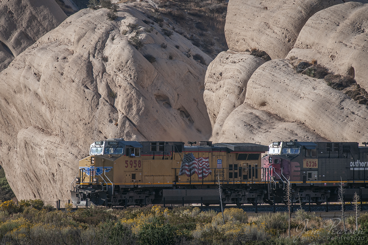
October 20, 2008 - The late evening light rakes across the base of Mormon Rocks as UP 5958 and 6266 (ex-Southern Pacific Unit) lead a west bound freight down the Cajon Pass in southern California. 

Local legend has it that the rocks were named for the Mormon pioneers who camped here after their descent from the pass ridgeline. Another legend calls the rocks the 'Chanting Rocks,' as when the wind would blow across the portholes in the rocks it was said the sound made was similar to a low chanting or singing.

The late evening light rakes across the base of Mormon Rocks…

October 20, 2008 – The late evening light rakes across the base of Mormon Rocks as UP 5958 and 6266 (ex-Southern Pacific Unit) lead a west bound freight down the Cajon Pass in southern California.

Local legend has it that the rocks were named for the Mormon pioneers who camped here after their descent from the pass ridgeline. Another legend calls the rocks the ‘Chanting Rocks,’ as when the wind would blow across the portholes in the rocks it was said the sound made was similar to a low chanting or singing.

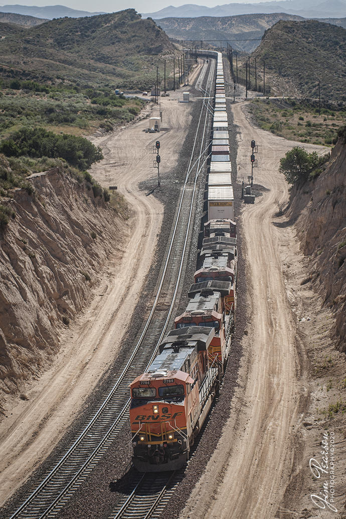
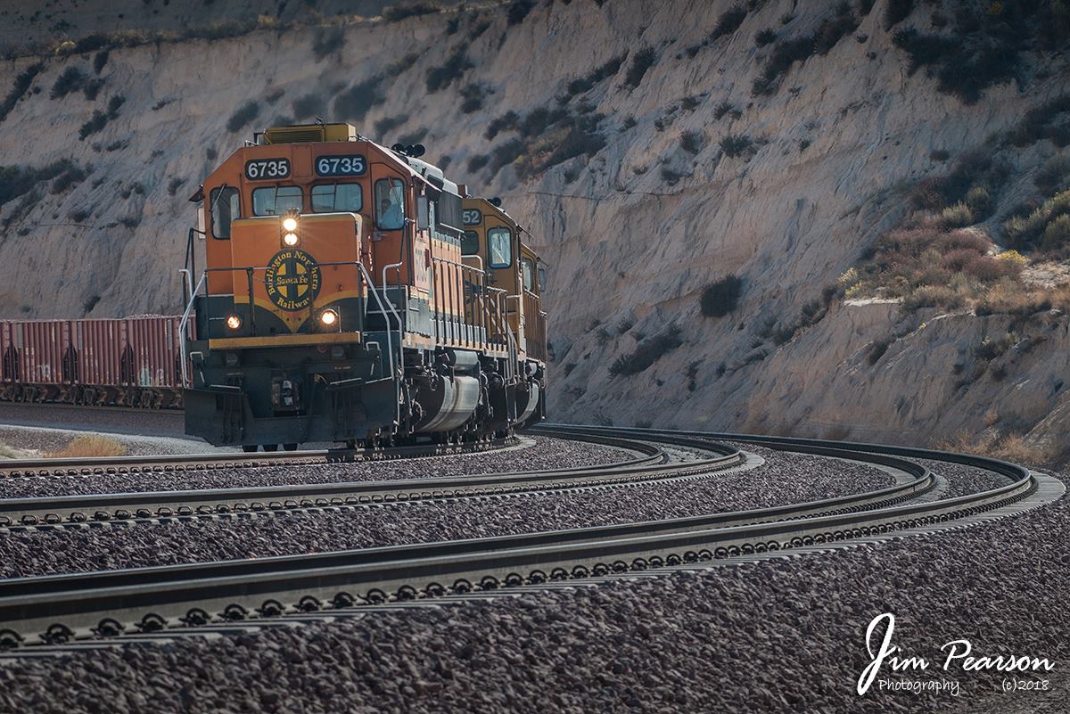
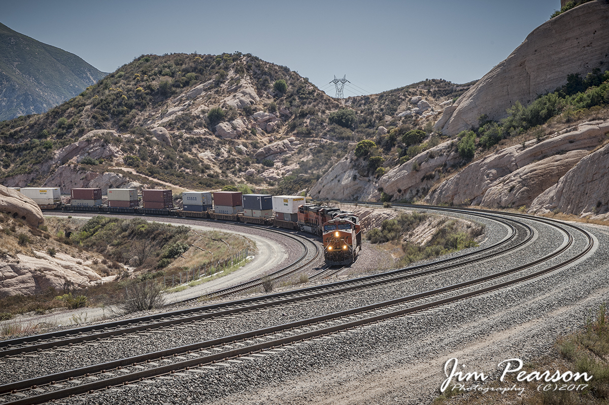
June 21, 2006 - A Blast from the Past - BNSF 7784 leads three other units on a west bound intermodal at Cajon Summit at Hesperia, California as they begin their descent through the Cajon Pass toward Los Angeles on the BNSF Cajon Subdivision.

BNSF 7784 leads three other units at Cajon Summit…

June 21, 2006 – A Blast from the Past – BNSF 7784 leads three other units on a west bound intermodal at Cajon Summit at Hesperia, California as they begin their descent through the Cajon Pass toward Los Angeles on the BNSF Cajon Subdivision.

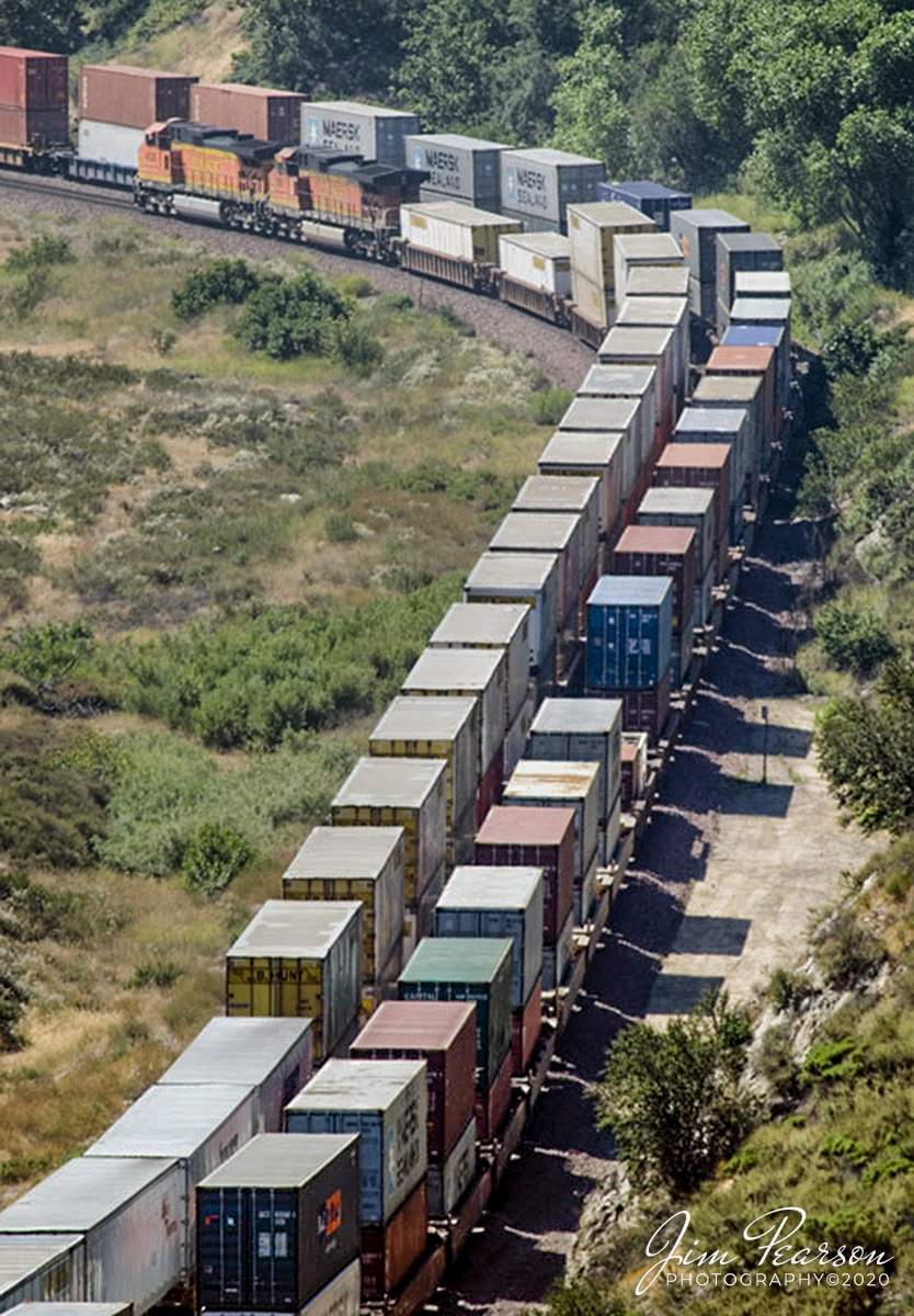
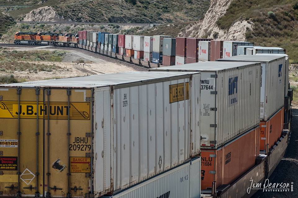
March 31, 2020 - Another of several photos I found on my old Mac G4 Laptop that I shot back in 2006 with my old Nikon D200 and thought I'd share a few of them. This mornings image was shot on June 20, 2006 and is of two BNSF intermodals making their way east and west through the Cajon Pass in Southern California on the Cajon Subdivision.

Two BNSF intermodals making their way through the Cajon Pass, CA

March 31, 2020 – Another of several photos I found on my old Mac G4 Laptop that I shot back in 2006 with my old Nikon D200 and thought I’d share a few of them. This mornings image was shot on June 20, 2006 and is of two BNSF intermodals making their way east and west through the Cajon Pass in Southern California on the Cajon Subdivision.

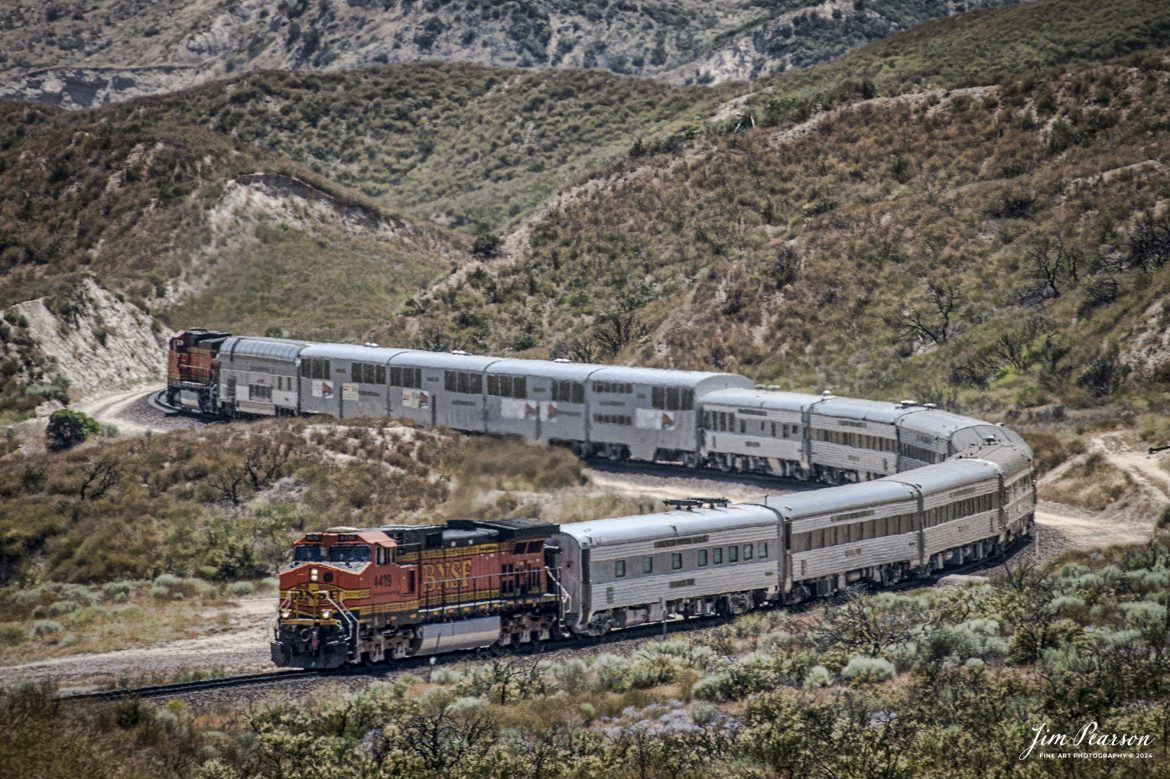
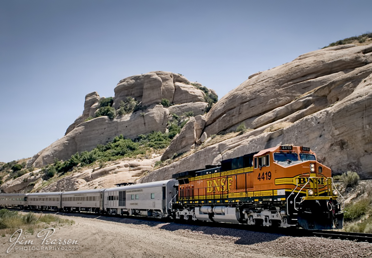
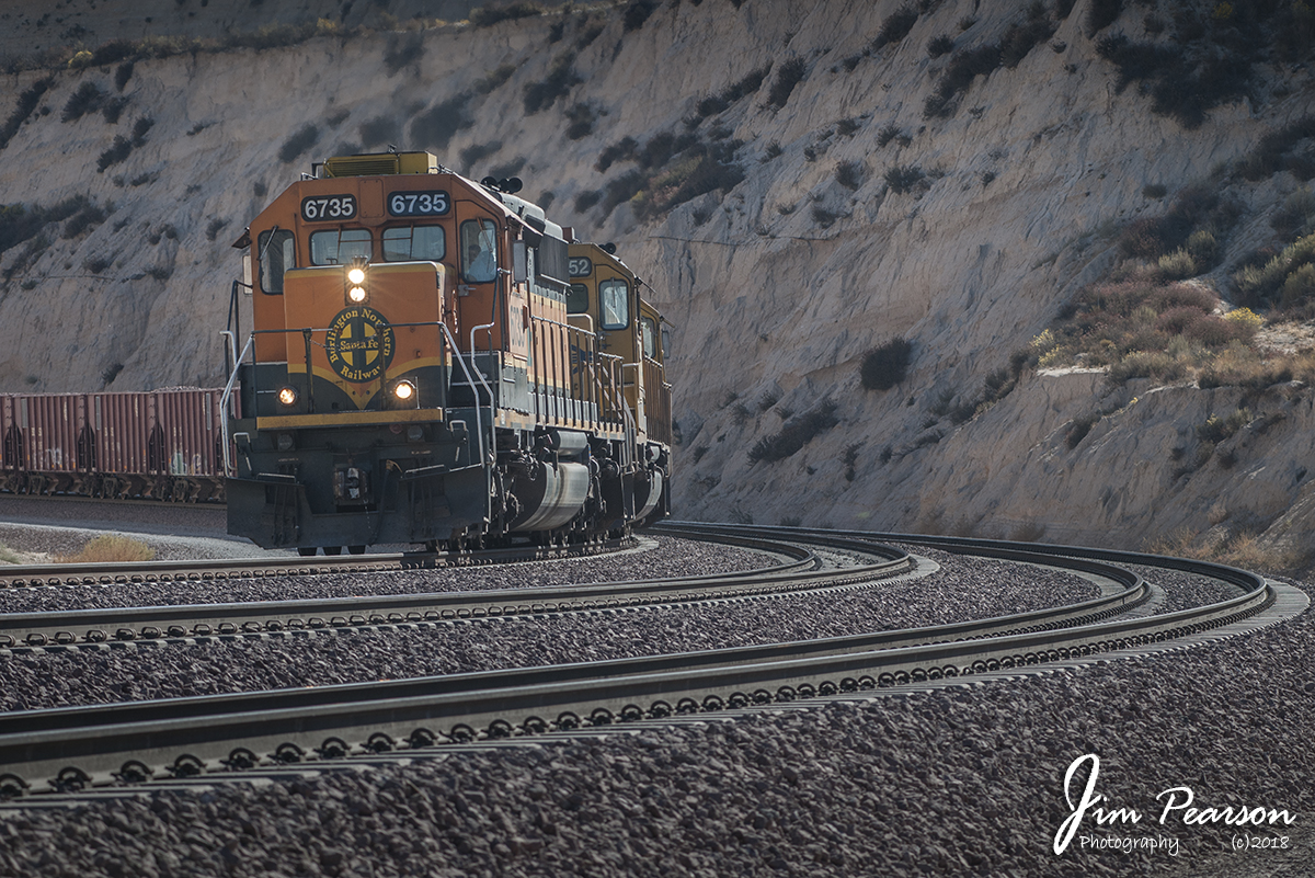
March 30, 2020 - I stumbled across this image and several others on my old Mac G4 Laptop that I shot back in 2006 with my old Nikon D200 and thought I'd share a few of them. This one is from June 6, 2006 of BNSF 4419 leading a business train east bound through Sullivan's Curve just west of Cajon Junction in southern California, headed to Barstow, CA.

From the Web we learn that “Sullivan's Curve is where the Union Pacific Palmdale Cutoff, and the BNSF mains 1 and 2 curve in a large horseshoe curve directly next to some large, rather impressive, rock formations. Promotional photos taken at this curve for the Santa Fe in the 1930’s through the 1950’s by photographer Herb Sullivan were fantastic, and made famous by their composition. The curve that he used so frequently was named in his honor, and rightfully so.”

BNSF 4419 leading a business train eastbound, Cajon Junction, CA

March 30, 2020 – I stumbled across this image and several others on my old Mac G4 Laptop that I shot back in 2006 with my old Nikon D200 and thought I’d share a few of them. This one is from June 6, 2006 of BNSF 4419 leading a business train east bound through Sullivan’s Curve just west of Cajon Junction in southern California, headed to Barstow, CA.

From the Web we learn that “Sullivan’s Curve is where the Union Pacific Palmdale Cutoff, and the BNSF mains 1 and 2 curve in a large horseshoe curve directly next to some large, rather impressive, rock formations. Promotional photos taken at this curve for the Santa Fe in the 1930’s through the 1950’s by photographer Herb Sullivan were fantastic, and made famous by their composition. The curve that he used so frequently was named in his honor, and rightfully so.”

BNSF 7902 leads a loaded intermodal through the famous “Sullivan’s Curve”…


September 27, 2011 – BNSF 7902 leads a loaded intermodal through the famous “Sullivan’s Curve” as it heads north up the Cajon Pass in southern California.

“Sullivans Curve is where the Union Pacific Palmdale Cutoff, and the BNSF mains 1 and 2 curve in a large horseshoe curve directly next to some large, rather impressive, rock formations. Promotional photos taken at this curve for the Santa Fe in the 1930’s through the 1950’s by photographer Herb Sullivan were fantastic, and made famous by their composition. The curve that he used so frequently was named in his honor, and rightfully so.”

BNSF Freight northbound in Cajon Pass, CA


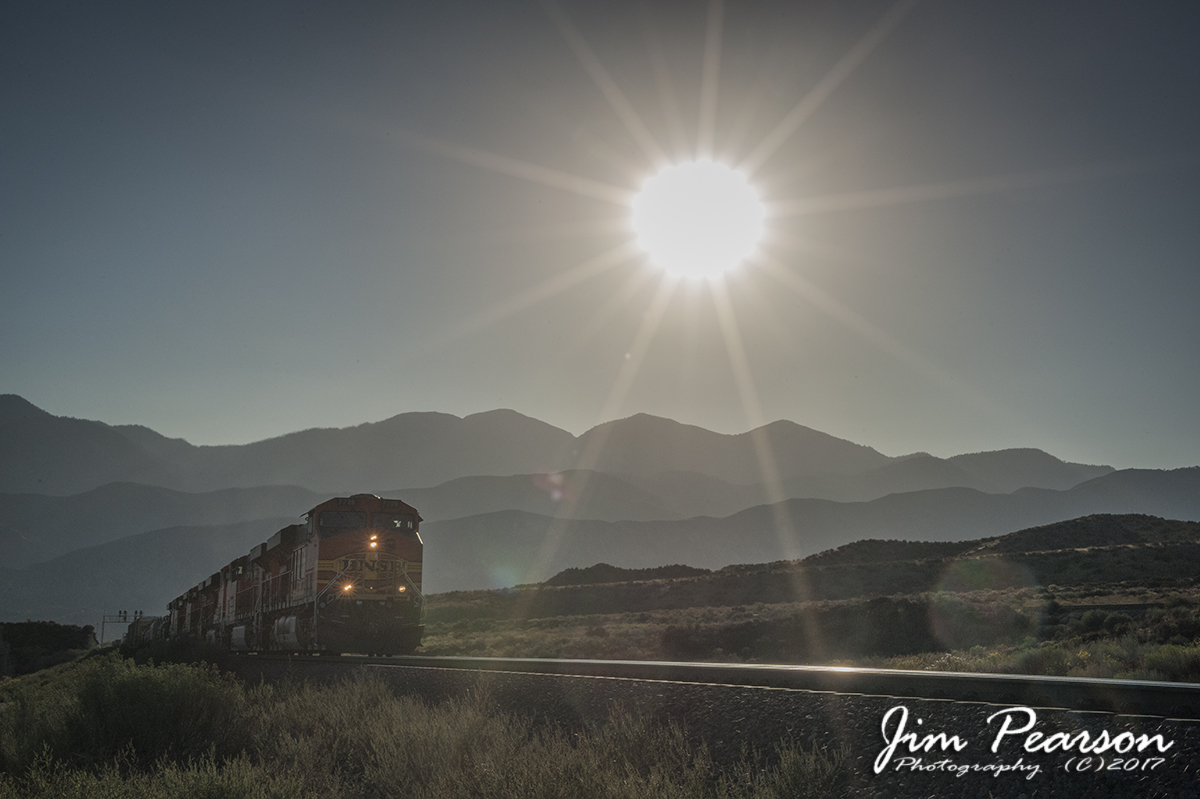
September 27, 2011 – The sun begins to dip in the sky as a loaded BNSF freight train heads north up the grade in the Cajon Pass in southern California, approaching the Summit of the pass as BNSF 7726 leads the way. Shooting directly into the sun can cause many exposure issues, but if you get it right it can make for some spectacular photographs.

I shot this as a RAW file on a Nikon D700 Full Frame Camera and exposed more for the sun, but made sure I still had enough exposure in the midtones by checking my histogram.

By doing this I was able to bring the highlights down in RAW to bring the sun more in line with the rest of the photo and also used a gradient filter to help control the brightness of the sky. I also opened up the shadows in RAW to bring out the detail my sensor captured there, resulting is this final scene.

BNSF in Cajon Pass with 4 different paint schemes, Cajon, CA

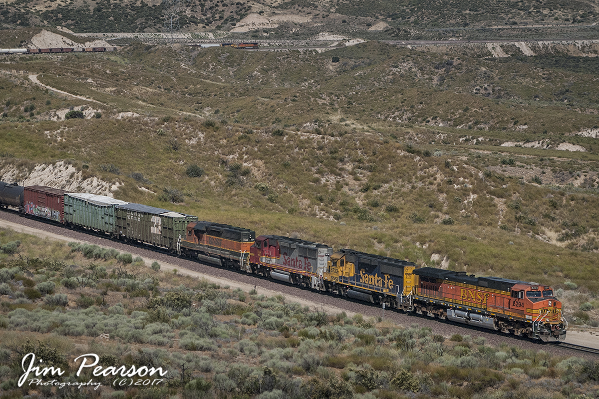
June 19, 2006 – A complete mashup of BNSF power, with different paint schemes, move a mixed freight train southbound down the Cajon Pass in southern California with a couple helpers on the rear, in this view from the famous train watching spot called Hill 582.