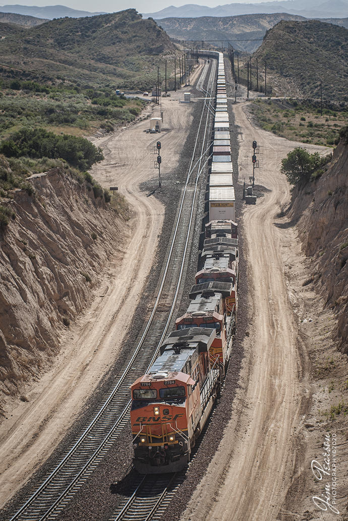
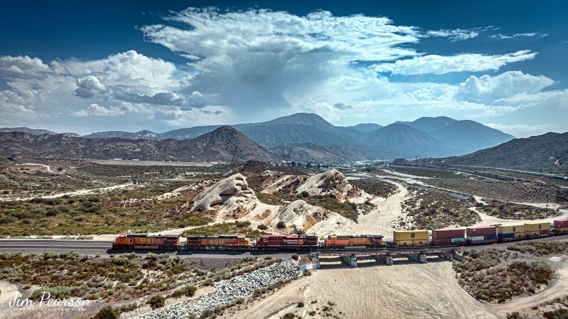
BNSF 4037, 4549, CP 8125 and BNSF 5733 lead an eastbound intermodal at Phelan, CA, as they cross the dry wash east of Hwy 138 in the Cajon Pass on September 20th, 2024, on the BNSF Cajon Subdivision.
According to Wikipedia: Cajon Pass is a mountain pass between the San Bernardino Mountains to the east and the San Gabriel Mountains to the west in Southern California. Created by the movements of the San Andreas Fault, it has an elevation of 3,777 ft (1,151 m). Located in the Mojave Desert, the pass is an important link from the Greater San Bernardino Area to the Victor Valley, and northeast to Las Vegas. The Cajon Pass area is on the Pacific Crest Trail.
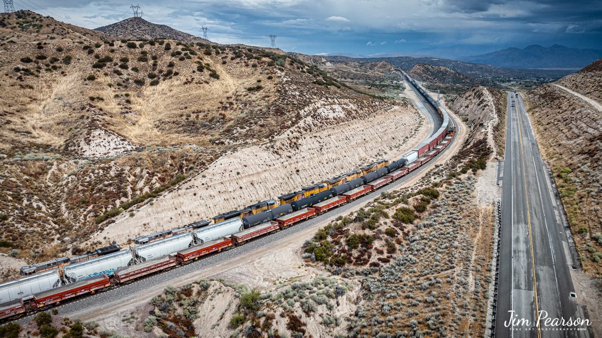
Cajon Pass is at the head of Horsethief Canyon, traversed by California State Route 138 (SR 138) and railroad tracks owned by BNSF Railway and Union Pacific Railroad. Improvements in 1972 reduced the railroad’s maximum elevation from about 3,829 to 3,777 feet while reducing curvature. Interstate 15 does not traverse Cajon Pass, but rather the nearby Cajon Summit. The entire area, Cajon Pass and Cajon Summit, is often referred to as Cajon Pass, but a distinction is made between Cajon Pass and Cajon Summit.
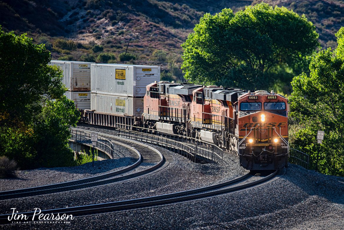
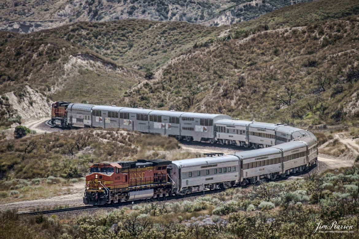
The California Southern Railroad, a subsidiary of the Atchison, Topeka and Santa Fe Railway, was the first railroad through Cajon Pass. The line through the pass was built in the early 1880s to connect the present-day cities of Barstow and San Diego. Today the Union Pacific Railroad and BNSF Railway (the successor to the Santa Fe) use the pass to reach Los Angeles and San Bernardino as part of the Southern Transcon. Due to the many trains, scenery and easy access, it is a popular location for railfans, and many photographs of trains on Cajon Pass appear in books and magazines.
The Union Pacific Railroad owns one track through the pass, on the previous Southern Pacific Railroad Palmdale cutoff, opened in 1967. The BNSF Railway owns two tracks and began to operate a third main track in the summer of 2008. The railroads share track rights through the pass ever since the Union Pacific gained track rights on the Santa Fe portion negotiated under the original Los Angeles and Salt Lake Railroad.
Tech Info: DJI Mavic 3 Classic Drone, RAW, 24mm, f/2.8, 1/4000, ISO 140.
![A Loram Rail grinder makes its way through the Cajon Pass in Southern California in April of 1995.
I spent a lot of years railfanning the pass between 1981 and 1995! It's a great place to catch trains and I've been back several times over the years since then.
In fact I'm headed back again this coming September for a week or so to see how much it has changed since I was last there several years ago. In fact, it was before I had a drone, so I'm really looking forward to railfanning from the air this next trip!
According to Wikipedia: Cajon Pass is a mountain pass between the San Bernardino Mountains to the east and the San Gabriel Mountains to the west in Southern California. Created by the movements of the San Andreas Fault, it has an elevation of 3,777 ft (1,151 m).[1] Located in the Mojave Desert, the pass is an important link from the Greater San Bernardino Area to the Victor Valley, and northeast to Las Vegas. The Cajon Pass area is on the Pacific Crest Trail.
Cajon Pass is at the head of Horsethief Canyon, traversed by California State Route 138 and railroad tracks owned by BNSF Railway and Union Pacific Railroad. Improvements in 1972 reduced the railroad's maximum elevation from about 3,829 to 3,777 feet (1,167 to 1,151 m) while reducing curvature. Interstate 15 does not traverse Cajon Pass, but rather the nearby Cajon Summit. The entire area, Cajon Pass and Cajon Summit, is often referred to as Cajon Pass, but a distinction is made between Cajon Pass and Cajon Summit.
Nikon F3 Camera, Nikon 300mm lens, f/stop and shutter speed not recorded](https://www.jimpearsonphotography.com/wp-content/uploads/2024/04/WEB-04.1995-LoRam-in-Cajon-Pass-1170x762.jpg)