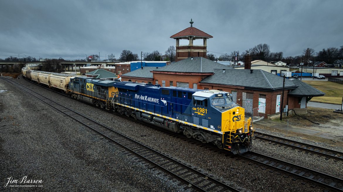
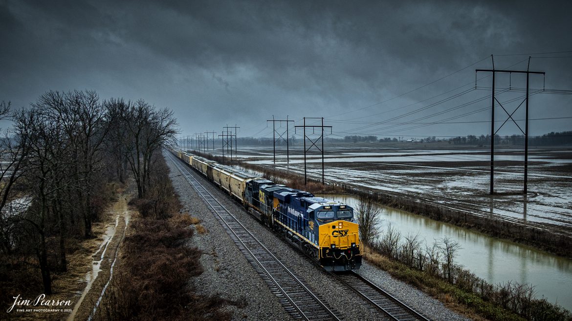
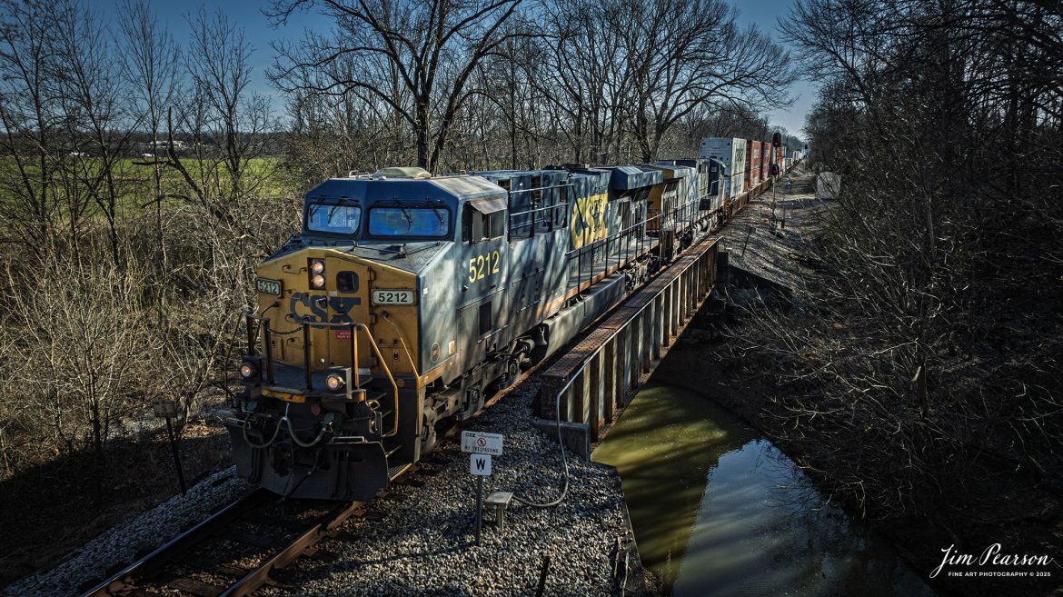
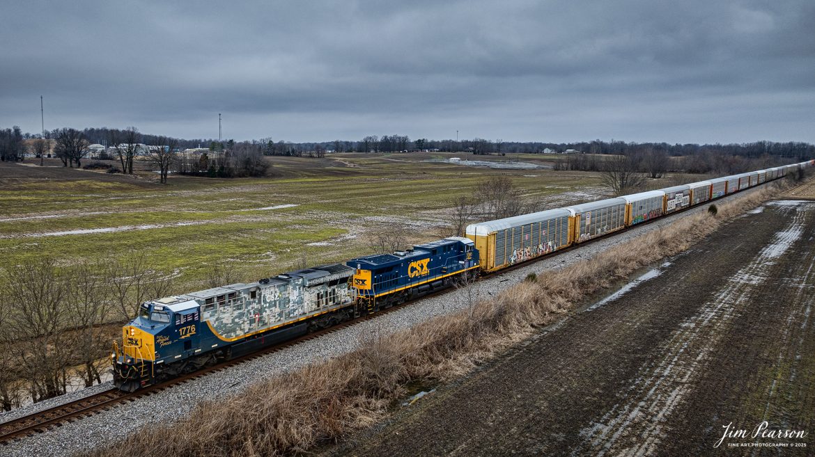
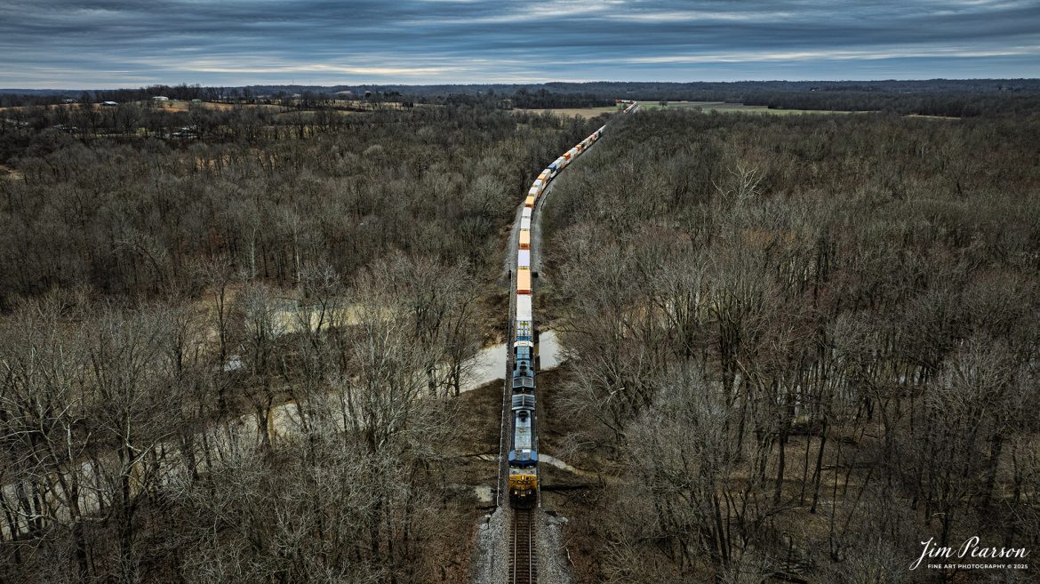
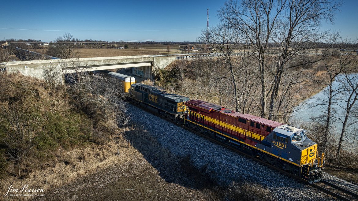
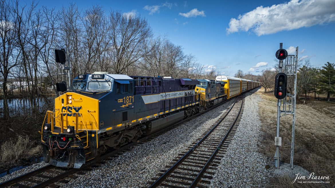
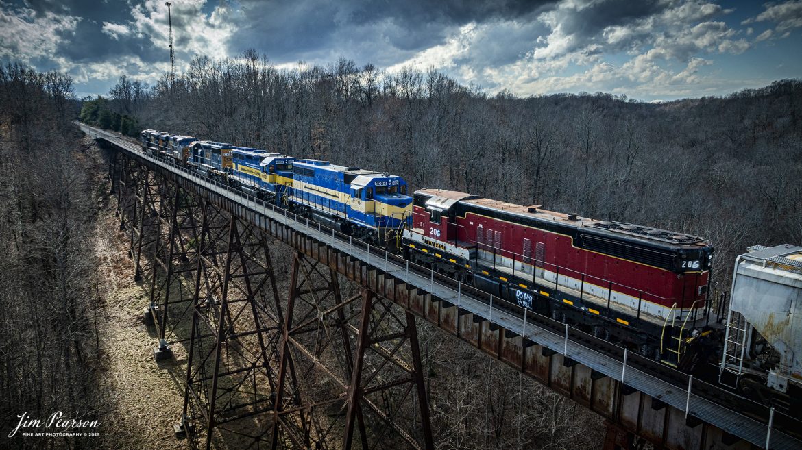
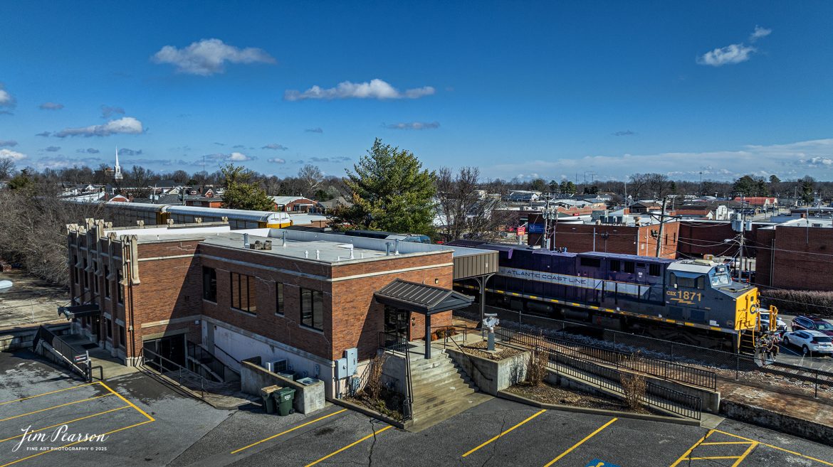
CSXT 1981 PanAm Railway Heritage Unit leads G342, under stormy skies, as it waits in the siding at the north end of Rankin, Kentucky for CSX I025 to pass, on February 15th, 2025, on the CSX Henderson Subdivision.
According to a CSXT Press Release: November 25, 2024 – CSX has unveiled locomotive No. 1981, the final installment in its series of heritage locomotives, honoring Pan Am Railways. The unit is the 21st and final creation by the Waycross Paint Shop to celebrate the predecessor railroads that form today’s CSX network.
Pan Am Railways, formerly known as Guilford Transportation, was established in 1981 and operated across northern New England, spanning from Maine to New York. It joined the CSX family in 2022 following a purchase agreement.
The heritage series required extra care and precision, according to CSX carman painter Albert Bussey. “It’s always special working on the heritage units,” Bussey said. “Like always, we try to take a little bit of extra care and time in order to do these perfectly.”
All 21 heritage units are not just displays of craftsmanship but active locomotives performing daily duties throughout CSX’s 26-state rail network. The dedication behind their creation reflects the artistry of the team at the Waycross Paint Shop.
“I’ve been involved in all of the 21 units,” said CSX carman painter Clyde Marshall. “The work itself has really been enjoyable. The transformation of the units, from when they first arrive in the shop to the finished product, is very rewarding.
Marshall also noted the significance of connecting with railroad history through these projects. “It is an honor to learn about the history of these units, and the importance the railroad played in American history,” he added.
The completion of locomotive No. 1981 stands as a tribute to the history of Pan Am Railways and the pride shared by CSX employees. As CSX approaches its 200th anniversary in 2027, these heritage locomotives symbolize the company’s enduring legacy and its dedication to innovation and service.
Tech Info: DJI Mavic 3 Classic Drone, RAW, 24mm, f/2.8, 1/320, ISO 130
