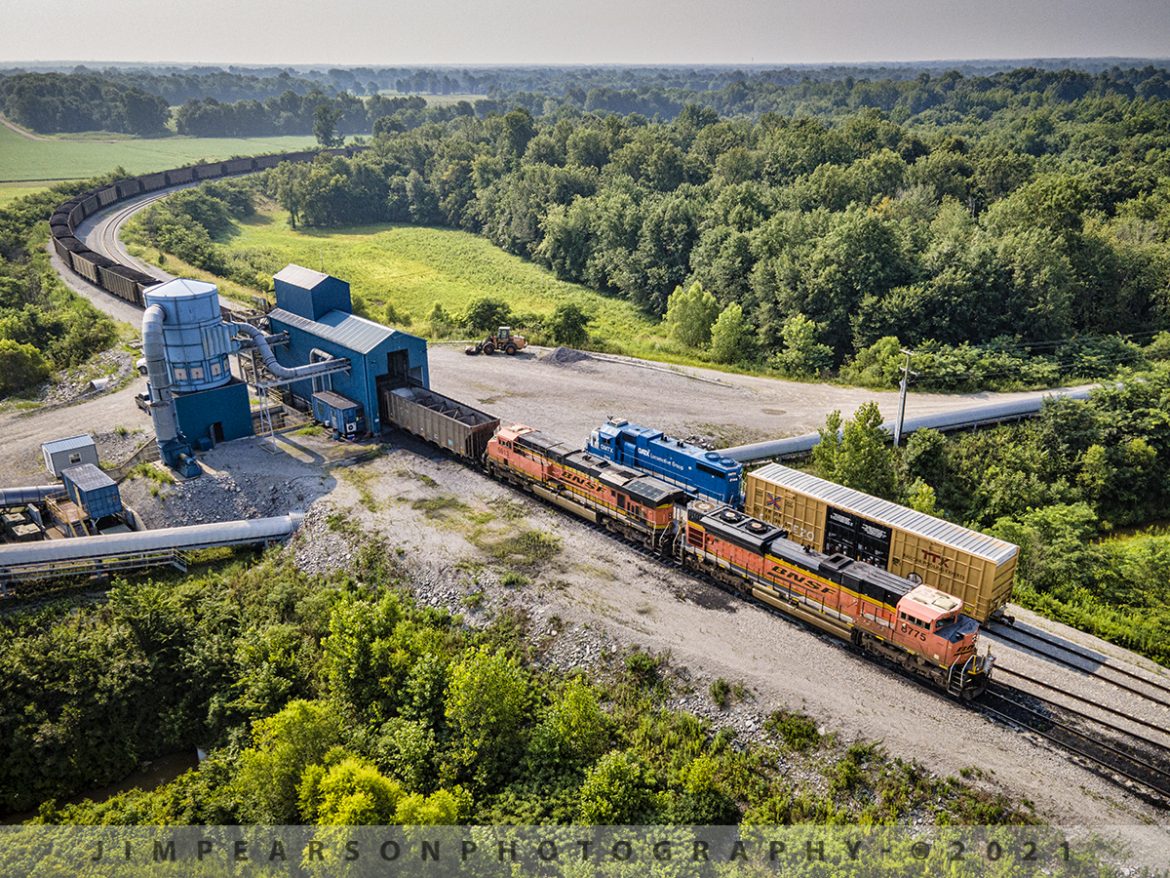
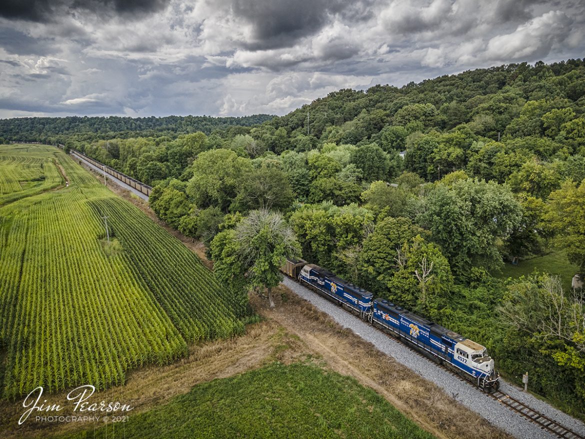
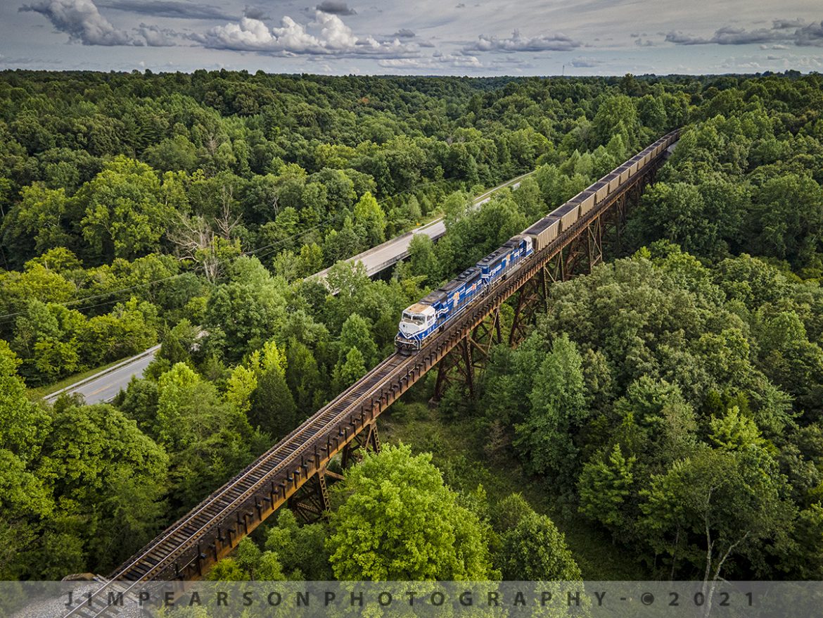
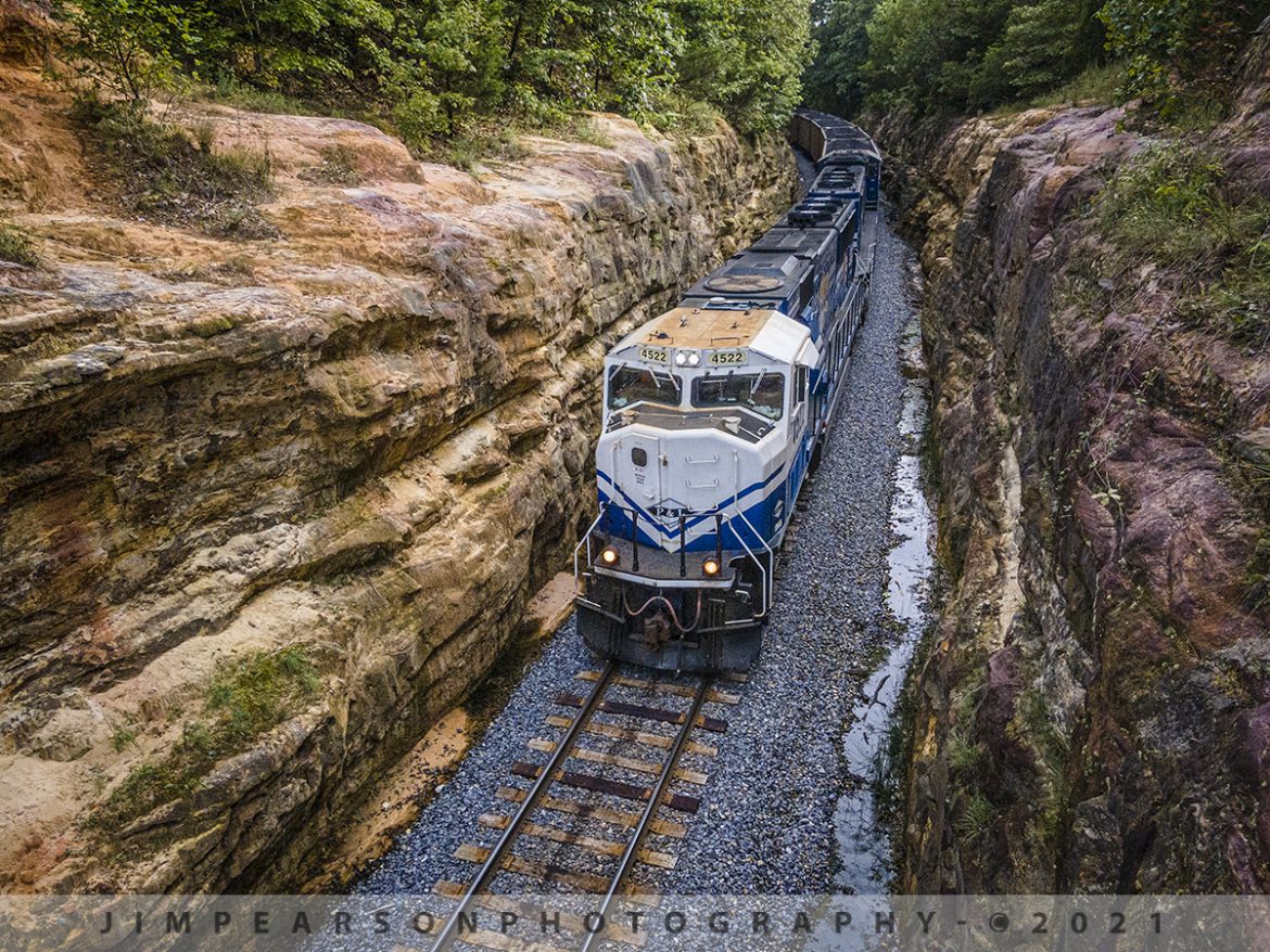
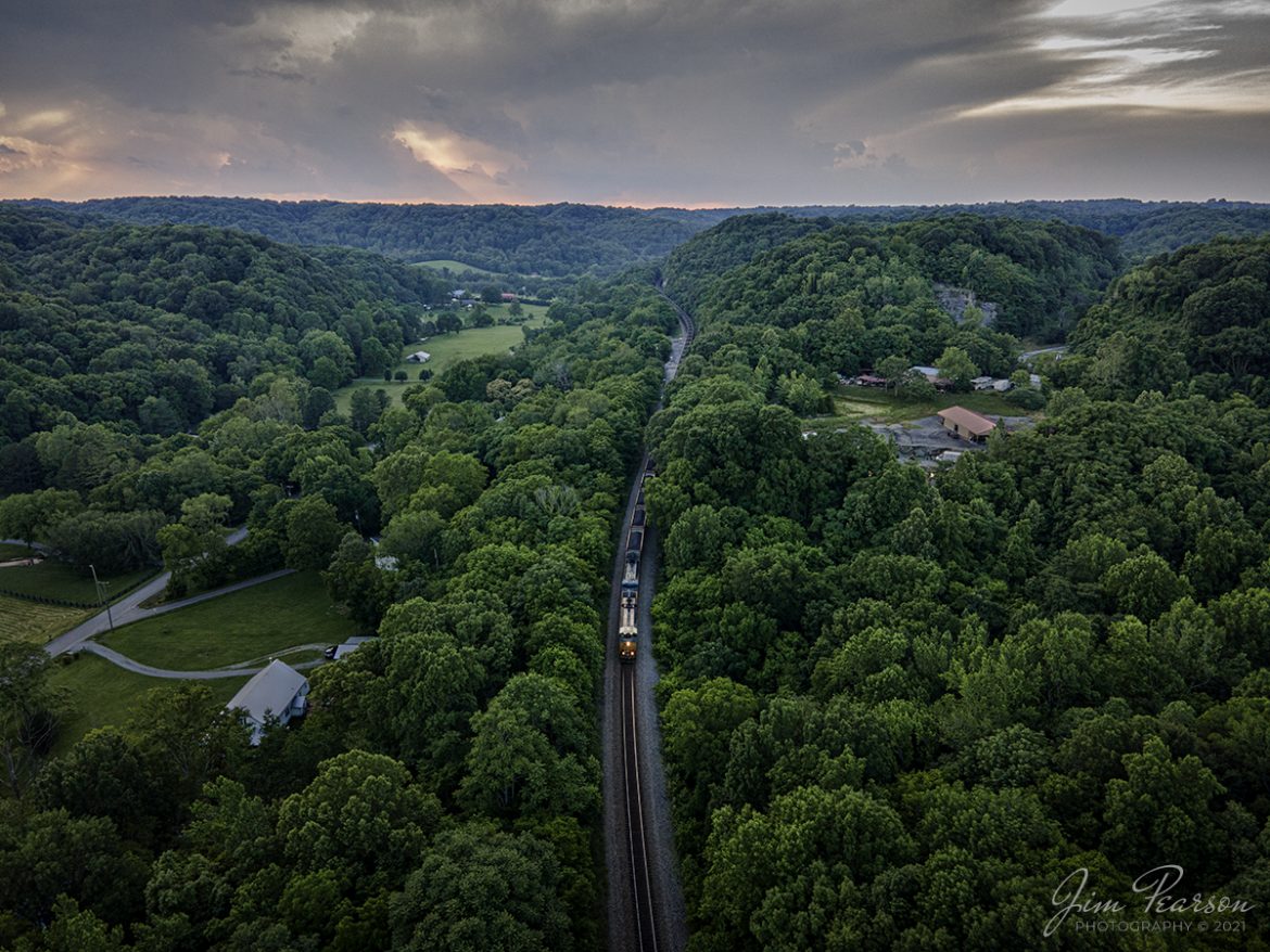
Paducah and Louisville Railway 3811, 4504 and 4516 lead loaded coal train PRX1 around the outer loop at the Calvert City Terminal in Calvert City, Kentucky on July 23, 2021, after picking up a load of coal for the TVA Shawnee Power Plant in West Paducah, KY.
According to Wikipedia: “The Paducah & Louisville Railway (reporting mark PAL) is a Class II railroad that operates freight service between Paducah and Louisville, Kentucky. The line is located entirely within the Commonwealth of Kentucky.
The 270-mile (430 km) line was purchased from Illinois Central Gulf Railroad in August 1986. The 223-mile (359 km) main route runs between Paducah and Louisville with branch lines from Paducah to Kevil and Mayfield, Kentucky, and another from Cecilia to Elizabethtown, Kentucky. The PAL interchanges with Burlington Northern Santa Fe (BNSF) and Canadian National (CN), formerly Illinois Central Railroad, in Paducah. In Madisonville, the line interchanges with CSX Transportation (CSXT).
In Louisville, the line interchanges with the Indiana Railroad (INRD), CSX Transportation (CSXT) and Norfolk Southern (NS). Class III line connections are at Princeton with the Fredonia Valley Railroad (FVRR) and at Louisville with the Louisville and Indiana Railroad (LIRC). The line today carries over 200,000 carloads of traffic on a CTC-controlled mainline with welded rail and even a section of multiple main tracks nearly 20 miles (32 km) long between Paducah and just east of Calvert City. This is a huge improvement from the little amount of traffic and poor condition the line was in by the time the ICG had sold it.
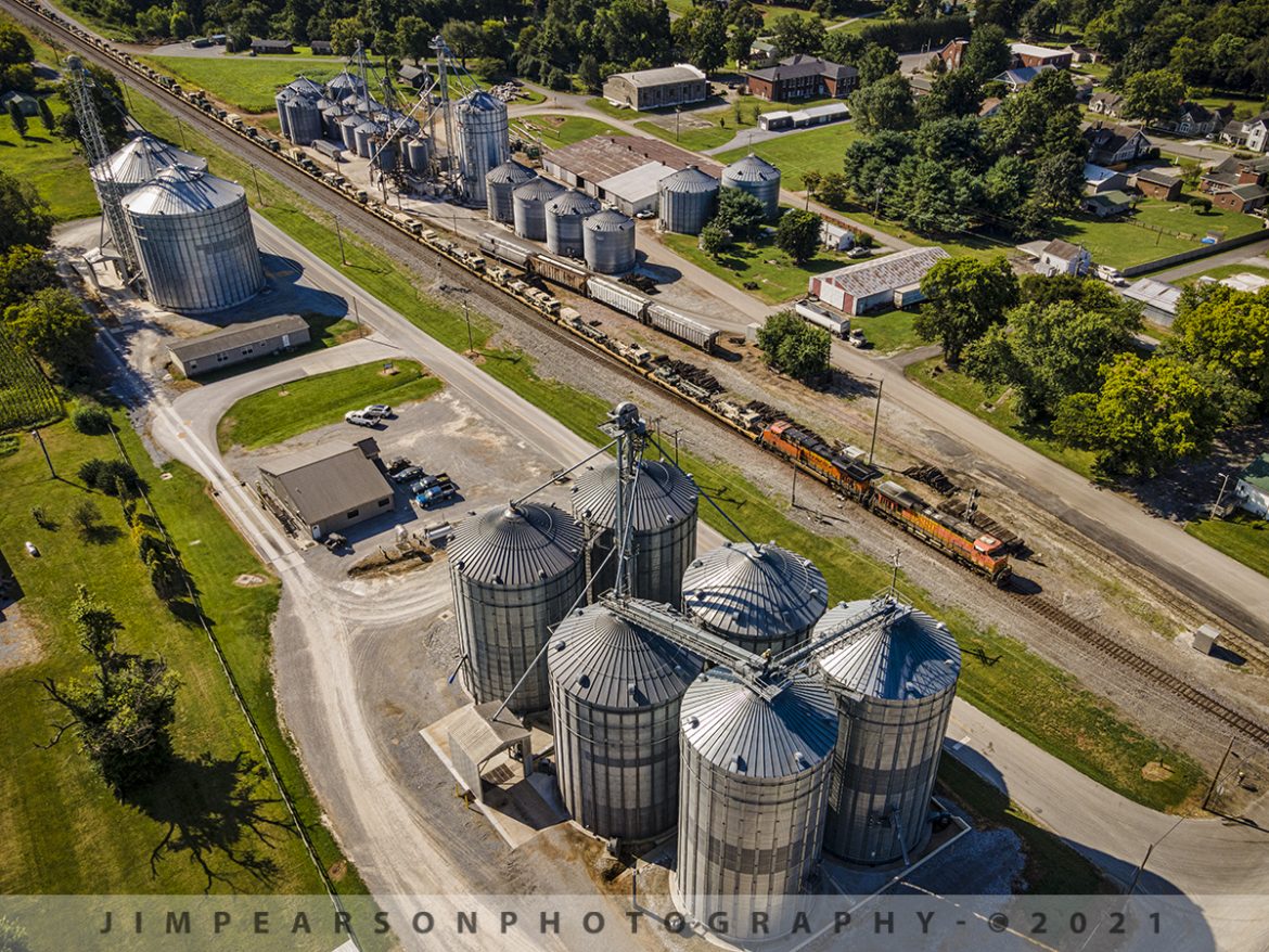
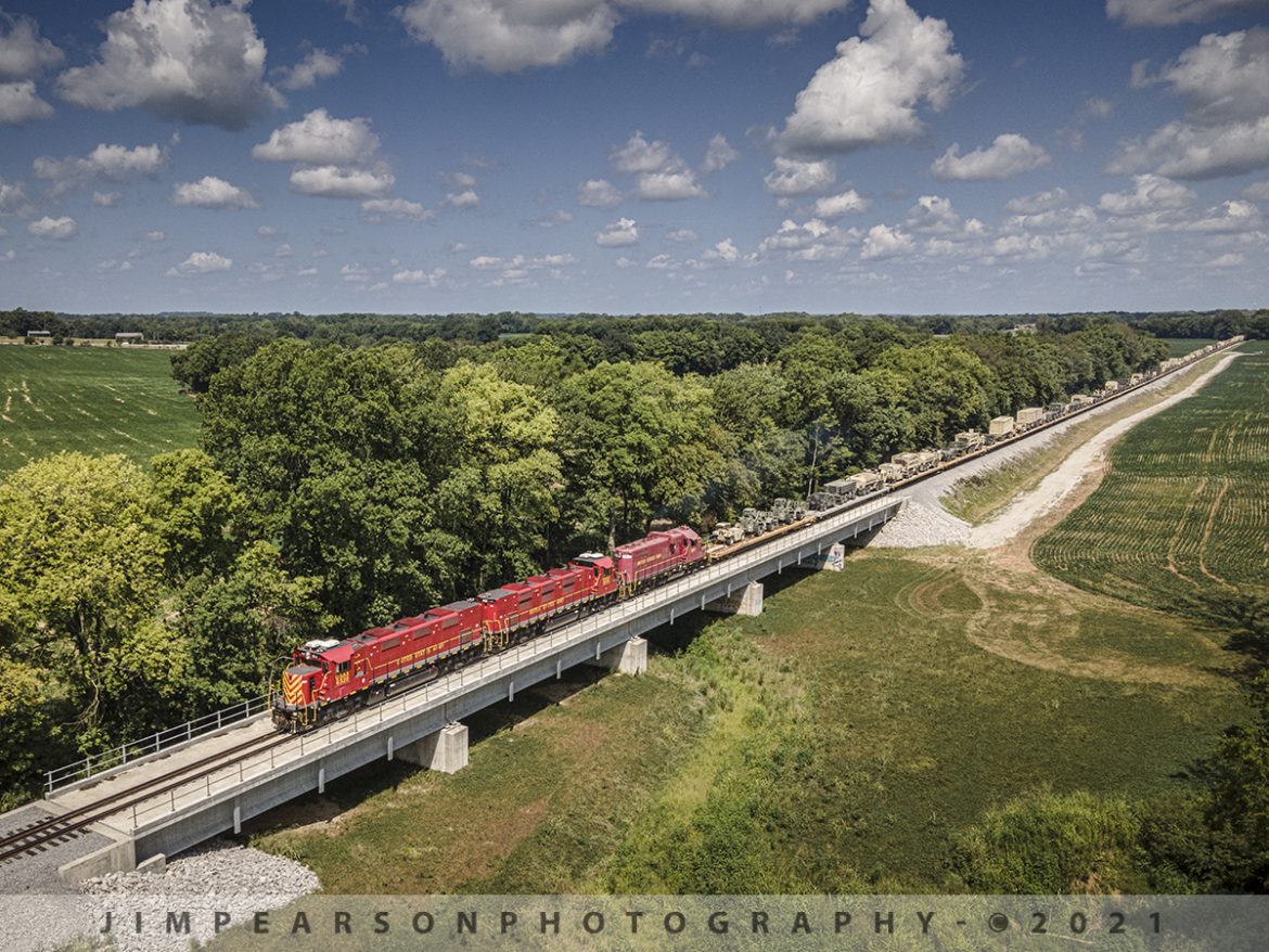
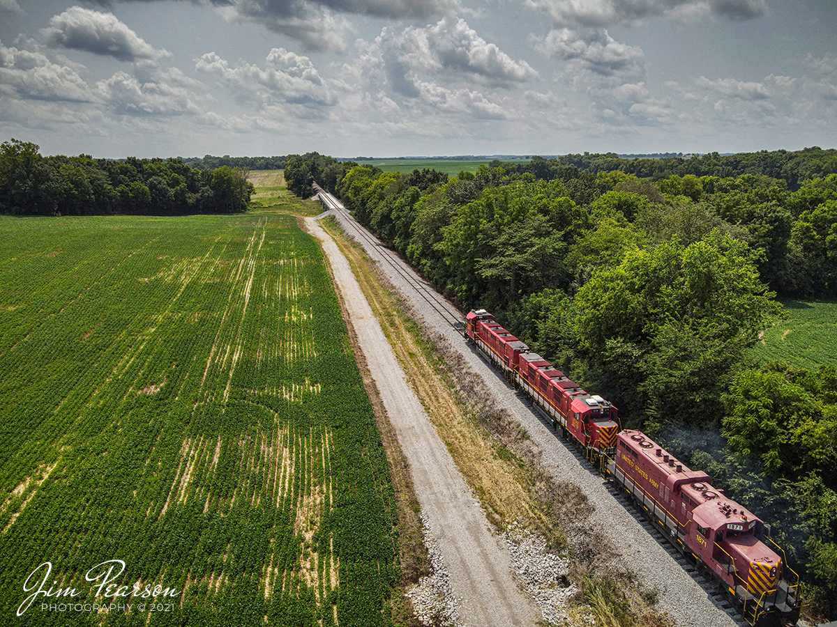
Today it is a big regional class II railroad connecting with four class I railroads (listed above), as well as the three shortline connections it makes which are also listed above. It has 270 route-miles of track, of which 233 miles (375 km) are its mainline running between its namesake towns of Paducah and Louisville, as well as branch lines to Mayfield, Kevil, and Elizabethtown. The railroad serves “many chemical plants and other manufacturing companies, several coal mines, numerous clay and stone quarries, lumber and propane distributors, farm [including a few large grain elevators] and mine equipment suppliers, warehouses, transloads, bulk terminals, riverports, and one military base.”
The parent company of the PAL, P&L Transportation, also operates the Evansville Western Railway and the Appalachian and Ohio Railroad.”
Tech Info: DJI Mavic Air 2 Drone, RAW, 4.5mm (24mm equivalent lens) f/2.8, 1/240, ISO 100.

![Paducah and Louisville Railway PRX1 at Calvert City, Kentucky
Paducah and Louisville Railway 3811, 4504 and 4516 lead loaded coal train PRX1 around the outer loop at the Calvert City Terminal in Calvert City, Kentucky on July 23, 2021, after picking up a load of coal for the TVA Shawnee Power Plant in West Paducah, KY.
According to Wikipedia: "The Paducah & Louisville Railway (reporting mark PAL) is a Class II railroad that operates freight service between Paducah and Louisville, Kentucky. The line is located entirely within the Commonwealth of Kentucky.
The 270-mile (430 km) line was purchased from Illinois Central Gulf Railroad in August 1986. The 223-mile (359 km) main route runs between Paducah and Louisville with branch lines from Paducah to Kevil and Mayfield, Kentucky, and another from Cecilia to Elizabethtown, Kentucky. The PAL interchanges with Burlington Northern Santa Fe (BNSF) and Canadian National (CN), formerly Illinois Central Railroad, in Paducah. In Madisonville, the line interchanges with CSX Transportation (CSXT).
In Louisville, the line interchanges with the Indiana Railroad (INRD), CSX Transportation (CSXT) and Norfolk Southern (NS). Class III line connections are at Princeton with the Fredonia Valley Railroad (FVRR) and at Louisville with the Louisville and Indiana Railroad (LIRC). The line today carries over 200,000 carloads of traffic on a CTC-controlled mainline with welded rail and even a section of multiple main tracks nearly 20 miles (32 km) long between Paducah and just east of Calvert City. This is a huge improvement from the little amount of traffic and poor condition the line was in by the time the ICG had sold it.
Today it is a big regional class II railroad connecting with four class I railroads (listed above), as well as the three shortline connections it makes which are also listed above. It has 270 route-miles of track, of which 233 miles (375 km) are its mainline running between its namesake towns of Paducah and Louisville, as well as branch lines to Mayfield, Kevil, and Elizabethtown. The railroad serves "many chemical plants and other manufacturing companies, several coal mines, numerous clay and stone quarries, lumber and propane distributors, farm [including a few large grain elevators] and mine equipment suppliers, warehouses, transloads, bulk terminals, riverports, and one military base."
The parent company of the PAL, P&L Transportation, also operates the Evansville Western Railway and the Appalachian and Ohio Railroad."
Tech Info: DJI Mavic Air 2 Drone, RAW, 4.5mm (24mm equivalent lens) f/2.8, 1/240, ISO 100.](https://www.jimpearsonphotography.com/wp-content/uploads/2021/08/WEB-07.23.21-PAL-PRX1-at-Calvert-City-KY-1170x878.jpg)